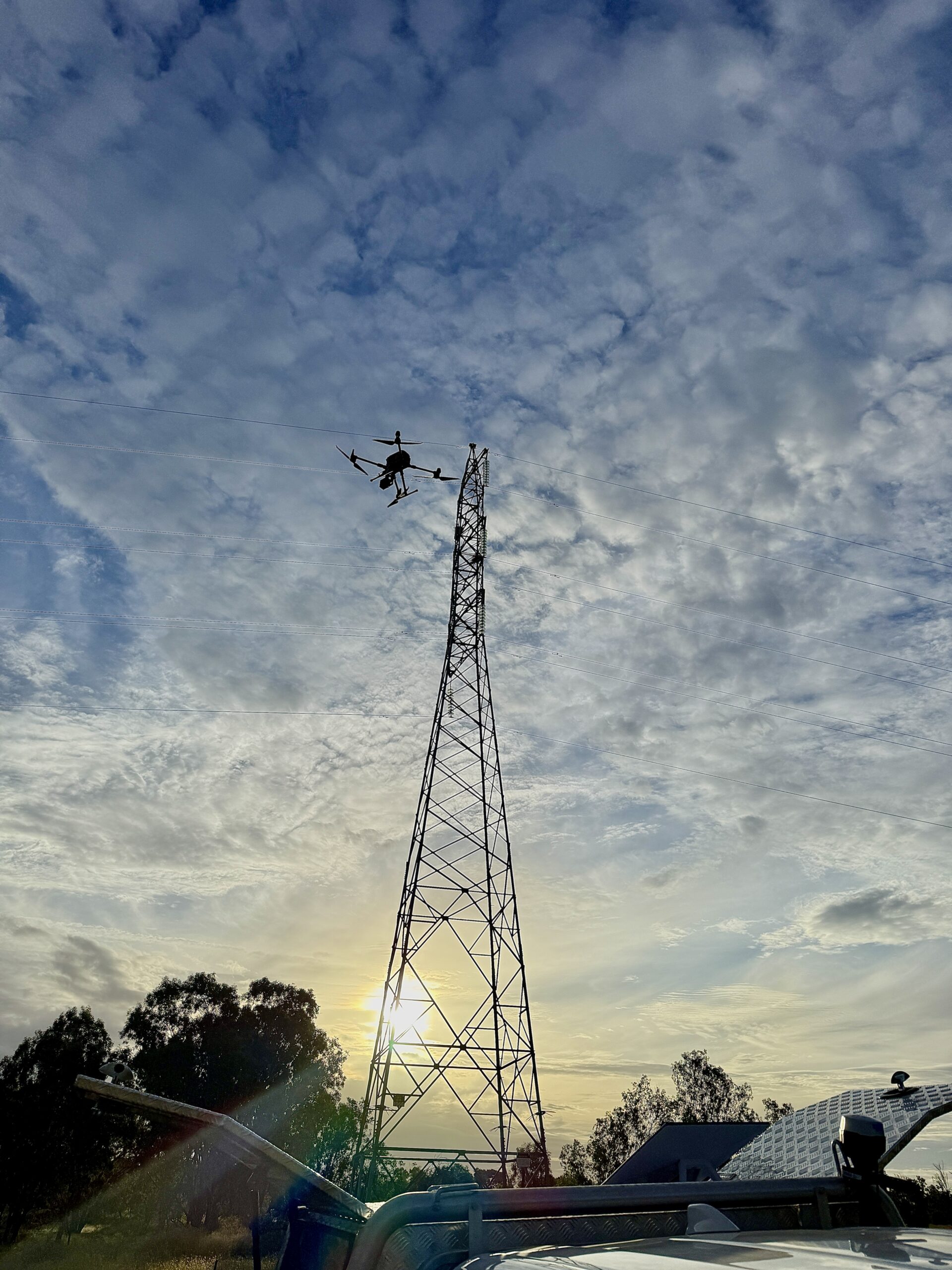
UAVs are integrated into Neilly Group’s services. Neilly
Our capabilities includes:
- Light Detection and Ranging (LiDAR) collection
- Processing of LiDAR to produce point clouds and
digital elevation models - LiDAR Accuracy and Interpretation Reporting
- Aerial photography and photographic editing services
- Aerial videography and repeated video flight paths
- Orthoimage / orthomap generation
- In-house advanced photogrammetry processing to
offer a range of benefits including:- Real-Time Kinematic Post-Processed Kinematic
corrections - Advanced co-alignment techniques for change
detection between datasets while minimizing errors.
- Real-Time Kinematic Post-Processed Kinematic
- Topographic survey with Global Navigation Satellite
System equipment - Surface water velocity measurement
- Photography and videography editing, including
colour-grading, distortion correction and creation of
smooth-transitions for aerial videography


